
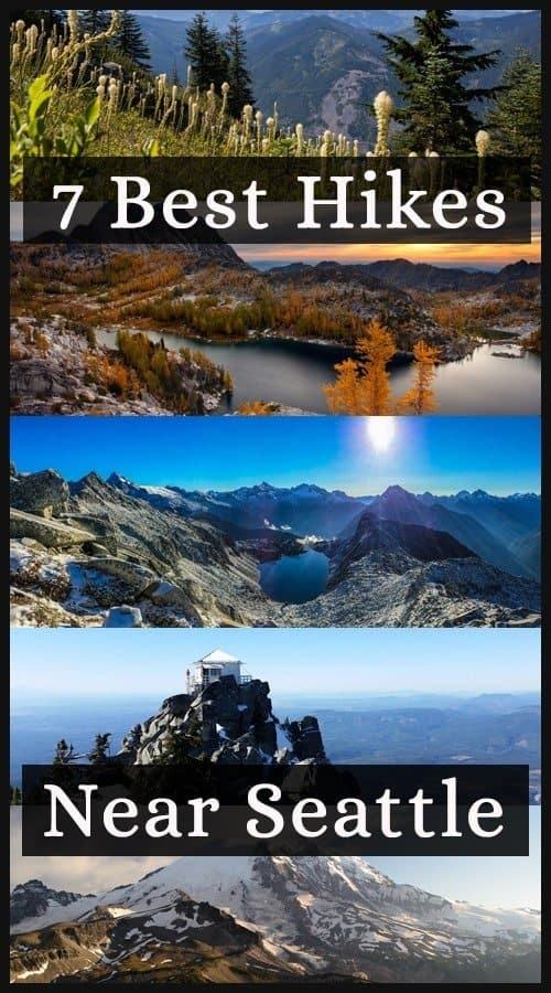
Here is a list of the 7 Best Hikes Near Seattle. The city of Seattle, Washington is so close to mother nature. If fact you can be grabbing a Starbucks coffee in Pike Place Market at 7am and summit a mountain top by noon for a picnic lunch. There is an endless amount of lakes and mountains to explore from the city. One of the reasons Seattle gets the nickname, The Emerald City.
Here is a great article on Washington Glamping Destinations or Treehouse Glamping in Washington.
So needless to say many people travel to Seattle not just for the sights and culture of the city but to engulf themselves in the fresh air of it’s surrounding wilderness. Whether you are a local or just visiting for some alone time in the mountains. Try one of these 7 best hikes near Seattle. If you need a new pair of Hiking Boots click here. For more hikes in the whole of America, check out Travelers Choice for Best Hikes in the Americas
List of the 7 Best Hikes Near Seattle
Skyscraper Pass
This is one of the best hikes near Seattle on a very clear day. Although this trail ends with a fairly easy boulder scramble, the views from the rocky summit are worth the effort. From the top look to the South. You can follow the tiers of Burroughs Mountain left to right, up to where the Inter Glacier and Steamboat Prow point to the summit of Rainier. Continuing clockwise, see the green meadows of aptly named Vernal Park, Winthrop Creek and the West Fork White River far below, the immense plateau of Grand Park, the Fremont Lookout, and finally Berkeley Park, below to the southeast.

Details:
This trail is about 8 miles roundtrip with an elevation gain 1300 ft. To get there, drive to Mount Rainier National Park’s northeast (White River) entrance, 40 miles east and south of Enumclaw on State Route 410, or 3 miles north of Cayuse Pass on State Route 410. Follow the road to its end at Sunrise.
Mailbox Peak
Bridges and creek crossings await you in the lower section of the hike, and then the switchbacks start. At roughly 850ft of elevation gain per mile, your thighs will feel the burn once you start climbing, and it won’t let up until you’re standing triumphantly next to the Mailbox. Distract yourself by taking a look at the construction of the trail. A multitude of volunteer crews worked to create rock fords and turnpikes (elevated sections of trail) that keep your feet dry as you cross many creeks.
The switchbacks continue for about 4 miles, before rejoining the old trail at elevation 3860 feet for your final push to the summit. This last push consists of 960 feet of elevation gain in half a mile–hopefully the approach warmed you up for the final assault! If your energy flags, remember what views await you at the summit.
The peak’s position at the end of a long ridgeline means you’ll have an even better vantage point for panoramas than you might on other summits like Granite or Bandera. Rainier is in your face, and to the northwest, the Middle Fork Valley stretches before you like a lush green carpet.

Details:
This trail is 9.4 miles roundtrip with an elevation gain of 4000 ft. To get there, take exit 34 from I-90. Head north on 468th Ave SE for approximately half a mile until the intersection with the SE Middle Fork Road. Turn right onto the Middle Fork Road. Follow SE Middle Fork Road 2.2 miles to the stop sign at the junction with SE Dorothy Lake Road. Head left onto SE Middle Fork Road and drive .3 miles. Take the turnoff to the trailhead on the right and continue a short distance up the paved road to the paved parking lot with 40 spots and a vault toilet.
Bandera Mountain
Bandera Mountain is a chameleon. Most would describe it as an easy hike–relatively short and not very steep for most of its length–-but then it suddenly changes, turning informal and rough, particularly in its last half mile, making it feel like the rugged backcountry trek it at times can be.

Details:
This trail is 8 miles roundtrip with an elevation gain of 3400 ft. To get there, take exit 45 off of I-90 and turn north onto FR 9030. A little over three quarters of a mile from the exit, stay left onto FR 9031. Follow it to its end and the trailhead for the Ira Spring Trail #1038. Road is one-lane gravel and dirt.
Mount Pilchuck
Despite its intermediate difficulty, Mount Pilchuck sees a slew of visitors in a given year. Hikers flock to the trail for its grand panoramic views and historic restored fire lookout. Easily one of the most rewarding hikes near Seattle, its a relatively short 2.7 mile, 2,300 feet ascent which gifts you 360-degree views of Mount Baker, Mount Rainier and the Olympics from its shelter lookout. The lookout sits nestled on a summit that tops out around 5,300 feet. Definitely one of the more popular hikes near Seattle. The lookout is the perfect picnic spot.

Details:
Approaching Granite Falls on Hwy 92, you will encounter a roundabout. Take the second exit and get onto Quarry Road. Take Quarry Road 2 miles. You will pass through another roundabout, but stay on Quarry Road. After 2 miles, reach the Mountain Loop Highway. Take a left onto the highway and proceed 10 miles to the Verlot Visitors Center. Continue another mile past the visitor’s center and then cross a bridge. After that you take the next right onto paved Mount Pilchuck Road.
Once you’ve made the right-turn, look for a sign indicating the road is FR 42. Proceed 6.8 miles down this road and you will reach the parking lot, which is just off the trailhead and bathroom for Mount Pilchuck.
Hidden Lake Lookout
It offers an intimate view of the very heart of the North Cascades. The kind of immersive experience not available by gazing up from the valleys below. From wildflower meadows in its early stretches to stark granite at the top, it is a front row seat for all that draws us upward. The view you get from here makes you feel so far away from civilization and it is such a good feeling. Another one of my favorites hikes near Seattle.

Details:
This trail is 8 miles roundtrip with an elevation gain of 3300 ft. To get there you Drive from Marblemount on Hwy 20, drive the Cascade River Road just short of 10 miles to the junction with FS 1540. The road will be signed for the Hidden Lake Trail. Drive the steep, rutted, rocky road 4.5 miles to the road end and trailhead. Be sure to leave room for other people to drive in and out of the trailhead area.
The Enchantments
In the Enchantments, nature has carved one of the magnificent places of this world. An alpine paradise of granite worn smooth by glaciers, larches manicured by wind and cold, and crystal blue lakes strung together by a creek that tumbles and thunders between them. Seemingly everywhere, herds of mountain goats calmly wander by. Superlatives simply don’t suffice. You quickly find yourself resorting to otherworldly comparisons, just like the early visitors who bestowed place names like Aasgard, Sprite and Leprechaun on the fairytale surroundings.
There are three ways to experience the Enchantments, none easy. Add this to your adventures if you have completed some of the easier hikes near Seattle. The absolute minimum price of admission here is a hike of not less than seven miles gaining at least 4,400 feet in elevation in order to make it to even just one of the lakes in the Upper Enchantments. If you’re lucky enough to get an overnight permit, you can backpack at your leisure via the Snow Lakes or Stuart Lake trailheads.
If you’re a very strong hiker, you can make it in and out via either trailhead in a single day. Although seeing all of the lakes this way is so grueling it borders on the impossible. With two cars (or a car and some bikes), you can hike point-to-point from one trailhead to the other and transit between the two. The thru-hike is typically done from the Stuart Lake trailhead. It reduces the total elevation gain by 2,600 feet relative to going the opposite direction (although it still takes in the punishing climb up Aasgard Pass, which rises 1,900 feet in less than a mile). Pick your poison; enjoy the rewards.

Details:
This hike is 18 miles roundtrip with an elevation gain of 4500 ft. To get there you turn onto Icicle Creek Road from US2 on the very western edge of Leavenworth. Drive 8.4 miles and turn left onto Forest Service Road 7601. Follow the bumpy, sometimes potholed dirt road 3.7 miles to the Stuart Lake trailhead. Parking for about 20-30 cars and a toilet are available in the lot. Northwest Forest Pass required. Note that FR 7601 from Icicle Creek Road to the trailhead closes during the winter, typically from November to May, making for a short summer hiking season.
Heather – Maple Pass Loop
If ever there was a hike to satisfy all a hiker’s desires, this one comes as close as any. A loop hike with many fabulous changing faces throughout the seasons. Heather-Maple Pass features ridgelines blanketed in wildflowers in summer, lakes ringed with golden larches in fall, and before the highway closes for the season, a dramatic place to experience early winter’s snows. Put this on your own list of Best Hikes Near Seattle

Details:
This hike is 7.2 miles roundtrip with an elevation gain of 2000 ft. To get there, from Seattle, drive Hwy 20 through the town of Marblemount and on towards North Cascades National Park. After approximately 50 miles, the Rainy Pass trailhead will be on the south (right) side of the road. There is room here for 40 cars, as well as a privy. There is also a parking area on the north side of the road here which provides access to other trails.
Rattlesnake Ledge
This very popular trail is a breeze to get to. Rattlesnake Ridge Ledge has one of the most epic viewpoints and one of the most picturesque hikes near Seattle. Sweeping views of the Cedar River watershed, Mount Si, Mount Washington, Rattlesnake Lake and Chester Morse Lake. The ledge is a very exposed and large rock that has sheer cliffs. It would be wise approach slowly if you are hiking with kids or dogs.
If you wish to extend your trip. You can go back to the junction where the sign points out the trail to East Peak 2.4 miles away, or the ridge traverse to Snoqualmie Park, 8.3 miles away. You can also go just a short way from the junction up to Middle and Upper Ledge. This area is usually much quieter and afford more sweeping views to the northwest, where you can look down on the crowds at Rattlesnake Ledge.

Details:
This hike is 4 miles roundtrip with an elevation gain of 1160 ft. To get there from Seattle, drive east on I-90 to exit 32 for 436th Avenue SE. Turn right onto 436th Avenue SE, also signed as Cedar Falls Road SE. Proceed about four miles down the road to the Rattlesnake Lake parking lot on the right.
If you love hiking? Check out some other epic hikes from around the world.
Adventure and Hiking in Ireland
Hiking the Banaue Rice Terraces
The Historic Old Robe Trail in Washington.
Some of the best hikes in the world
If you enjoy sailing, Here is One of the Best things to do in Greece.
Thanks to Washington Trails Association.
World Traveling Blogger, Social Media Expert and Nerd who has a passion for Adventure and Fitness.